
| |
|
|
|||||
| |
|||||||
| |
|
|
|
|
|
||
| |
|
|
|
|
|
|
|
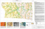
| 2007 combined ANU/Uni of Adelaide undergraduate regolith-landform mapping area: | |
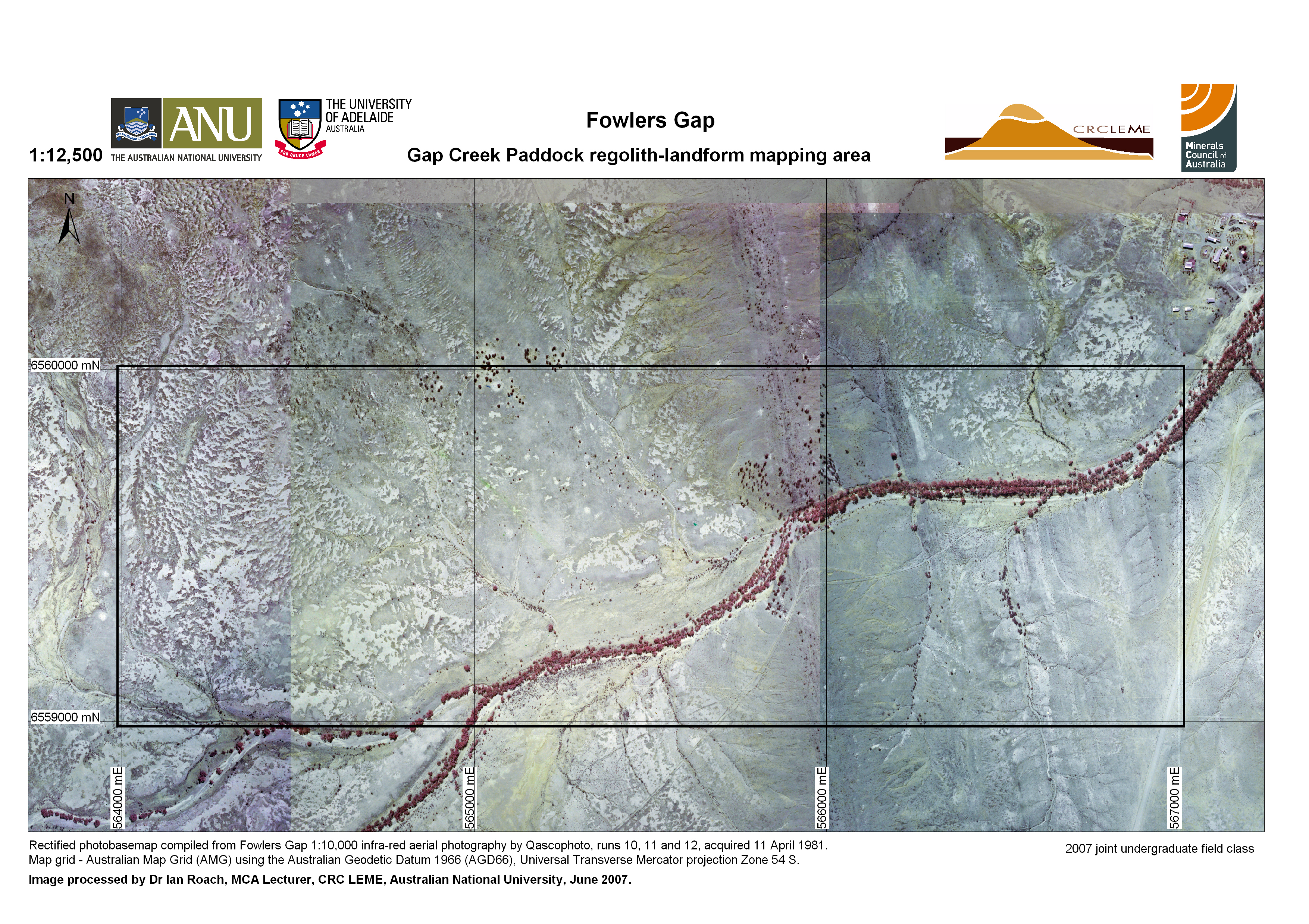 |
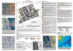
1:12,500 false-colour
infra-red air photo mosaic (300 dpi jpg, 7.3 Mb) This photobasemap is derived from the Fowlers Gap 1:10,000 infra-red aerial photography acquired by Qascophoto in 1981. The photographs were shot using infra-red extended colour film, meaning that green things (like healthy vegetation) appear red in the images. They have a ground resolution of 1 m and are used as base maps for your mapping project. You will be given a laminated version of this for your field mapping. |
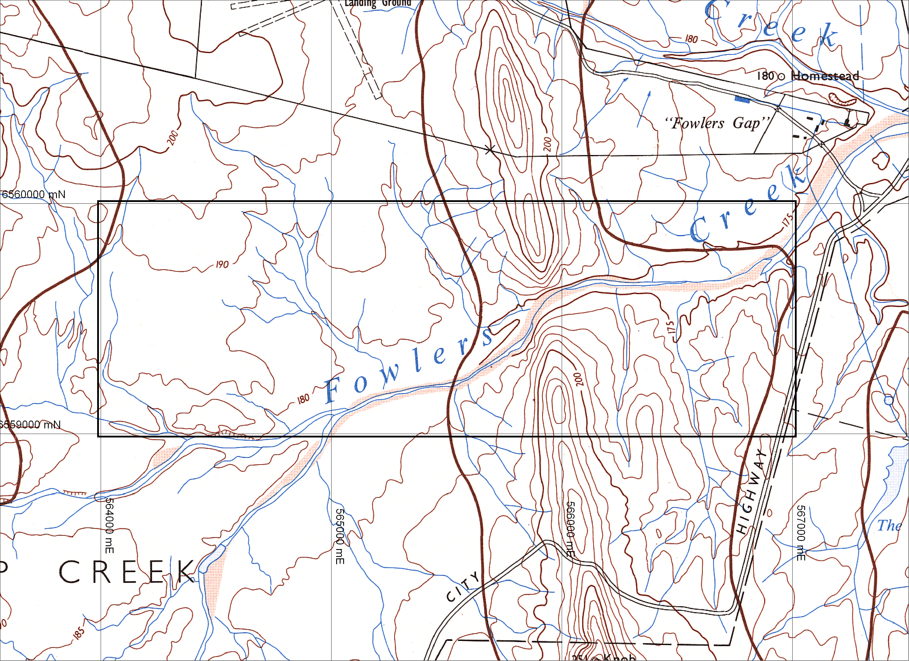 |
Topographic map (300
dpi jpg, 4.2 Mb) The Fowlers Gap Station special 1:25,000 topographic sheets were produced by the New South Wales Department of Lands in 1971. They feature a 5 m contour interval and are based on the Australian Geodetic Datum 1966 using the Universal Transverse Mercator projection Zone 54. |
|
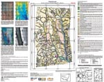
Regolith-landform maps: |
|
|
|
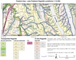
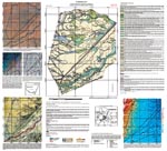
Sandstone and Sandstone
Ridge Paddocks regolith-landform map (PDF, 9.6 Mb) The Sandstone and Sandstone Ridge Paddocks regolith-landform map is based on regolith-landform mapping conducted in 2003 during the Regolith Mapping and Field Techniques Honours course. The map was compiled at 1:12,500 scale using the 1:25,000 Fowlers gap Station special topographic sheets and 1:10,000 and 1:50,000 scale aerial photography. The map was compiled by Dr Steve Hill and cartography was by Dr Ian Roach. This is the first in a series of maps in production describing the regolith-landforms and landscape evolution of the Fowlers Gap Arid Zone Research Station. |
 |
Lake Paddock
regolith-landform map (PDF, 132 kb) |
 |
South Sandstone Paddock
regolith-landform map (PDF, 132 kb) |
 |
Conners Paddock
regolith-landform map (PDF, 132 kb) |
 |
Hotel Paddock
regolith-landform map (PDF, 132 kb) |
| Last modified December 12, 2008 17:05 |